
Before we move back to Iceland, a quick note. I've gotten a new assignment starting late next year, so I'll be in Washington DC for two years starting sometime next fall. I'll publish more specifics when they're formalized. And now, back to Iceland for the days between Selfoss and Hofn.


The sheer volume of water present in Iceland is shocking, especially coming from drought stricken Sao Paulo and very dry California. There are waterfalls everywhere. Everything is green. Even the homes, which for centuries were roofed with turf. After seeing a turf shod Keldur village, we visited the row of waterfalls beginning with Seljalandsfoss and ending with Gljufrafoss ('the one which lives in the canyon').
 |
| Seljalandsfoss |
 |
| Keldur |


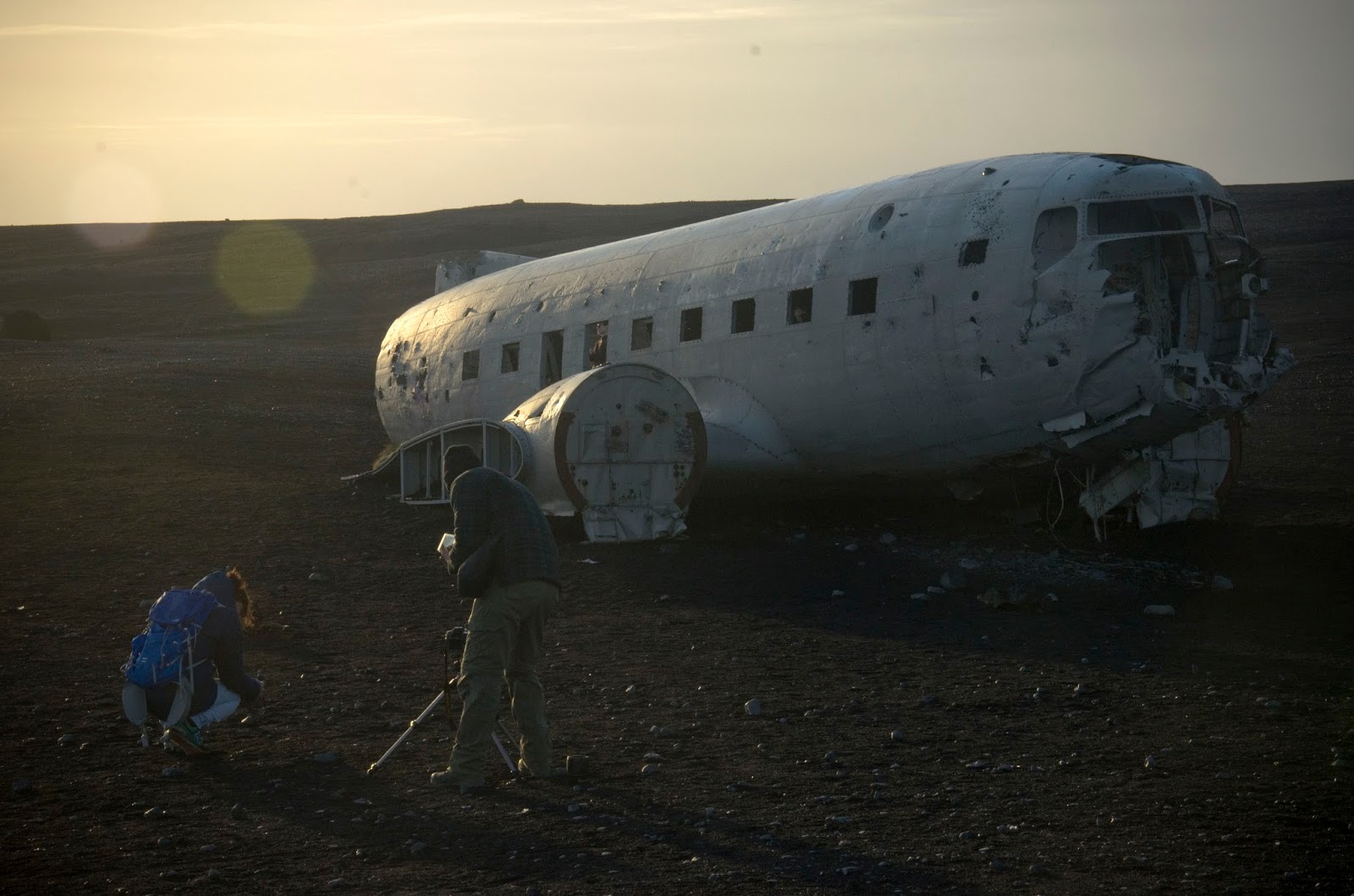
Iceland has the population of a neighborhood in Sao Paulo, and it shows most prominently in a town like Vik. Vik is large-printed on maps of the country, but in reality has about 7 streets and a few thousand people. In between this outpost and the other metropoli ringing the coastline are lava fields, a plane crash, sheep, glaciers, and splendorous canyons.


 |
| The entirety of Vik |
No comments:
Post a Comment